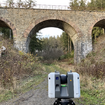
Laser scanning and multi-sensor system lab (C9, Arnold-Sommerfeld-Straße 6) and the
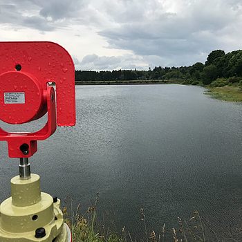
IGE geomatics real lab.
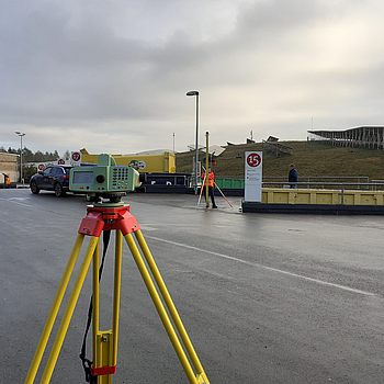
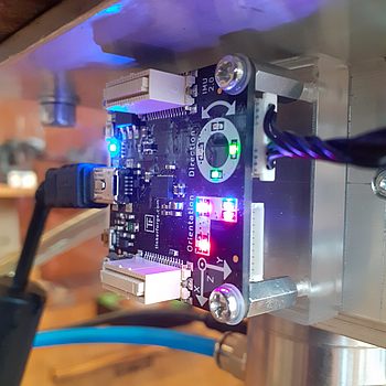
All three labs use a wide variety of sensor technology for terrestrial point determination and 3D environmental sensing. The labs are currently under construction. They are scheduled for starting to use completion in Q1/Q2-2022.
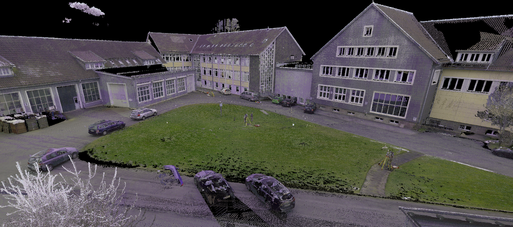
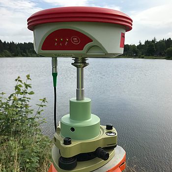
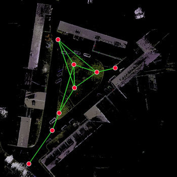
3D reference point field for polar measuring sensors
Hinweis zu Cookies
Unsere Webseite verwendet Cookies. Diese haben zwei Funktionen: Zum einen sind sie erforderlich für die grundlegende Funktionalität unserer Website. Zum anderen können wir mit Hilfe der Cookies unsere Inhalte für Sie immer weiter verbessern. Hierzu werden u. a. pseudonymisierte Daten von Website-Besuchern gesammelt und ausgewertet. Mit dem Klick auf Einstellungen können Sie zudem die einzelnen Cookies auswählen, welche Sie akzeptieren wollen. Das Einverständnis in die Verwendung der Cookies können Sie jederzeit, auch teilweise, widerrufen. Weitere Informationen zu Cookies auf dieser Website finden Sie in unserer Datenschutzerklärung und zu uns im Impressum.