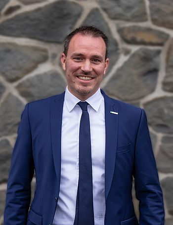
Prof. Dr.-Ing. Jens-André Paffenholz
Chair of Geomatics for Underground Systems
Speaker for the field of research Raw-Materials Supply and Resource Efficiency
Forschung
Aktuelle Forschungsprojekte
- Verbundprojekt EAGruMo: Entwicklung eines mobilen Multi-Sensor-Systems zur räumlichen und wasserqualitativen Erkundung
- Verbundprojekt MOVIE: MOdellkopplung im Kontext eines VIrtuellen Untertagelabors und dessen Entwicklungsprozess
- SenseBox-basiertes Umweltmonitoring
- 3D point cloud based monitoring of natural and artifical objects
Abgeschlossene Projekte
- OpenData4InfMon
- Wasserspeicher Harz 2050: Erstellung eines einzigartigen digitalen Zwillings zur Identifikation von Potentialen für eine starke Wasser- und Energiewirtschaftsregion Harz
Publikationen
Ausgewählte begutachtete Publikationen
Dorndorf, A.; Kargoll, B.; Paffenholz, J.-A.; Alkhatib, H.: Bayesian Robust Multivariate Time Series Analysis in Nonlinear Models with Autoregressive and t-Distributed Errors. Engineering Proceedings, Vol. 5, 20, 2021, doi:10.3390/engproc2021005020.
Kargoll, B.; Dorndorf, A.; Omidalizarandi, M.; Paffenholz, J.-A.; Alkhatib, H. Adjustment models for multivariate geodetic time series with vector-autoregressive errors. In: JAG (Journal of Applied Geodesy), Vol. 15, No. 3, 2021, pp. 243–267, doi:10.1515/jag-2021-0013.
Harmening, C.; Paffenholz, J.-A.: A Fully Automated Three-Stage Procedure for Spatio-Temporal Leaf Segmentation with Regard to the B-Spline-Based Phenotyping of Cucumber Plants. Remote Sensing, Vol. 13, No. 1, 74, 2021. doi:10.3390/rs13010074.
Herrmann, R.; Hille, F.; Said, S.; Sterthaus, J.; Müller, K.; Quercetti, T.; Wille, F.; Paffenholz, J.-A.; Baeßler, M. (2020): Implementing a structural health monitoring system using digital models of the BAM large drop test facility in Horstwalde. In: Papadrakakis, M. et al. (Eds.): Proceedings of the XI International Conference on Structural Dynamics (EURODYN 2020). Athens, Greece, pp 1293–1304. doi: 10.47964/1120.9104.19686.
Omidalizarandi, M.; Herrmann, R.; Kargoll, B.; Marx, S.; Paffenholz, J.-A.; Neumann, I.: A validated robust and automatic procedure for vibration analysis of bridge structures using MEMS accelerometers. In: JAG (Journal of Applied Geodesy), Vol. 14, No. 3, 2020, pp. 327-354. doi: 10.1515/jag-2020-0010.
Kersten, T.; Paffenholz, J.-A.: Feasibility of consumer grade GNSS receivers for the integration in multi-sensor-systems. Sensors, Vol. 20, No. 9, 2463, 2020. doi: 10.3390/s20092463.
Stenz, U.; Hartmann, J.; Paffenholz, J.-A.; Neumann, I.: High-Precision 3D Object Capturing with Static and Kinematic Terrestrial Laser Scanning in Industrial Applications—Approaches of Quality Assessment. Remote Sensing Vol. 12, No. 2, 2020, 290. doi: 10.3390/rs12020290.
Omidalizarandi, M.; Neumann, I.; Kemkes, E.; Kargoll, B.; Diener, D.; Rüffer, J.; Paffenholz, J.-A.:MEMS based Bridge Monitoring Supported by Image-Assisted Total Station. In: ISPRS International Archives of the Photogrammetry, Remote Sensing and Spatial Information Sciences, Vol. XLII-4/W18, 2019, pp. 833–842. doi:10.5194/isprs-archives-XLII-4-W18-833-2019.
Kermarrec, G.; Alkhatib, H.; Paffenholz, J.-A.: How Significant Are Differences Obtained by Neglecting Correlations When Testing for Deformation: A Real Case Study Using Bootstrapping with Terrestrial Laser Scanner Observations Approximated by B-Spline Surfaces. Sensors, Vol. 19, No. 17, 3640, 2019. doi: 10.3390/s19173640.
Omidalizarandi, M.; Kargoll, B.; Paffenholz, J.-A.; Neumann, I.: Robust external calibration of terrestrial laser scanner and digital camera for structural monitoring. In: JAG (Journal of Applied Geodesy), Vol. 13, No. 2, 2019, pp. 105-134, doi: 10.1515/JAG-2018-0038.
Dorndorf, A.; Kargoll, B.; Paffenholz, J.-A.; Alkhatib, H.: A Bayesian nonlinear regression model based on t-distributed errors. In: International Association of Geodesy Symposia. Springer, Berlin, Heidelberg, 2019. doi:10.1007/1345_2019_76.
Landmann, J.; Ongsiek, T.; Goseberg, N.; Heasman, K.; Buck, B.; Paffenholz, J.-A.; Hildebrandt, A.: Physical Modelling of Blue Mussel Dropper Lines for the Development of Surrogates and Hydrodynamic Coefficients. In: JMSE (Journal of Marine Science and Engineering) 7 (3), p. 65, 2019. doi: 10.3390/jmse7030065 2019.
Mitarbeit in nationalen und internationalen Gremien und Arbeitsgruppen
- Sprecher des Forschungsfeldes Rohstoffsicherung und Ressourceneffizienz der TU Clausthal (seit 12/2021)
- Schriftleiter avn. (seit 01/2021)
- Kongressdirektor INTERGEO 2021, 21-23 September in Hannover
- Mitglied des Vorstandes des DVW Niedersachsen/Bremen e.V. (06/2007-12/2023); Wahrnehmung des Amtes des Vorsitzenden (01/2020-12/2023) sowie des Schriftführers (06/2007-12/2019)
- Mitglied im DVW Arbeitskreis 4 "Ingenieurgeodäsie" (Periode 2015-2018 sowie Periode 2019-2022)
- Mitglied der IAG (International Association of Geodesy) Commission 4 Working Group 4.1.3 "3D point cloud based spatio-temporal monitoring" Wahrnehmung des Amtes des Chairs, Periode 2015-2019, 2019-2023
Beruflicher Werdegang
Seit 11/2019
Technische Universität Clausthal, Institute of Geo-Engineering, Professur Geomatik für untertägige Systeme
02/2014 – 10/2019
Gottfried Wilhelm Leibniz Universität Hannover, Geodätisches Institut, Ingenieurgeodäsie und geodätische Auswertemethoden. Arbeitsgruppenleiter „TLS-basierte Multi-Sensor-Systeme | Ingenieurgeodäsie“
07/2012 – 01/2014
Gottfried Wilhelm Leibniz Universität Hannover, Institut für Kartographie und Geoinformatik. Postdoc
10/2006 – 06/2012
Gottfried Wilhelm Leibniz Universität Hannover, Geodätisches Institut, Ingenieurgeodäsie und geodätische Auswertemethoden. Wissenschaftlicher Mitarbeiter, Doktorand
07/2011 – 09/2011
Department of Spatial Sciences Curtin University of Technology Perth, Western Australia, Australia Photogrammetry and Laser Scanning Research Group (Dr. K.-H. Bae). Research Associate

Kontakt
Telefon: +49 5323 72-3333
E-Mail: jens-andre.paffenholz@tu-clausthal.de
Adresse
Raum 214
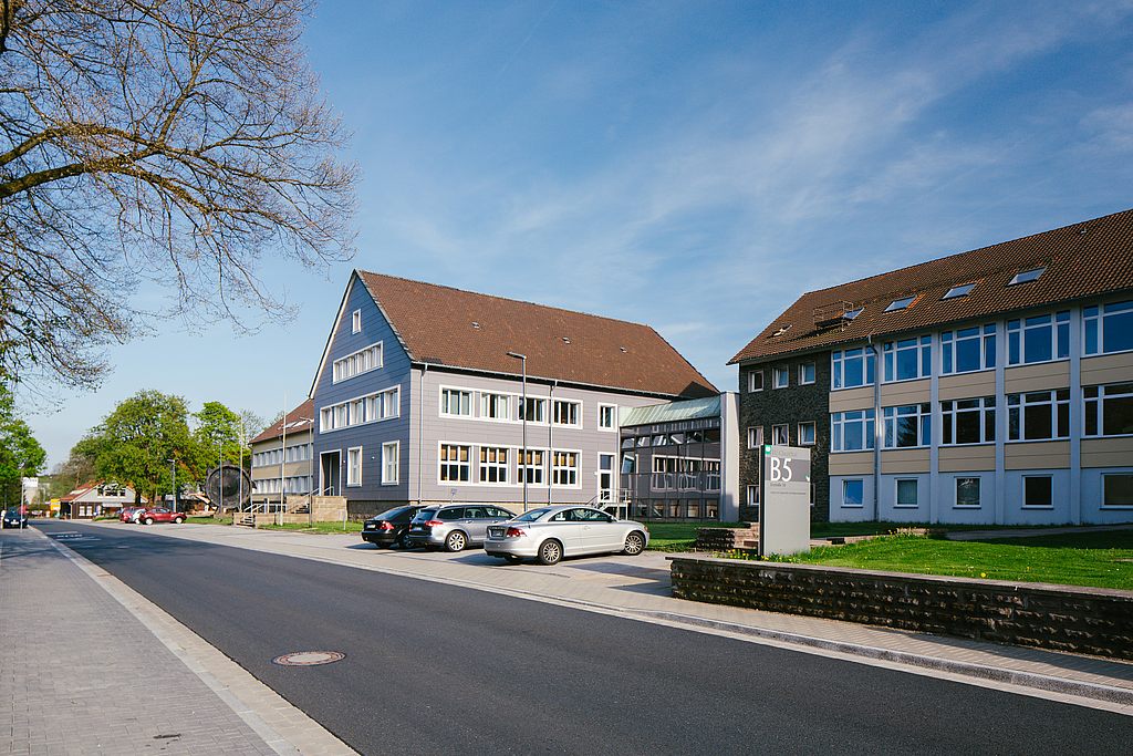
Institute of Geo-Engineering
Erzstraße 18
38678 Clausthal-Zellerfeld
Forschungsprofile und Publikationen online
